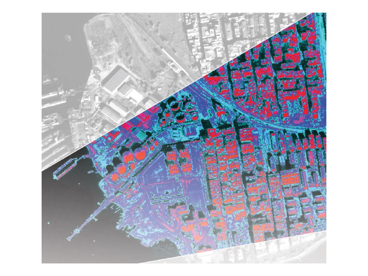
ENVI, developed by NV5 Geospatial, is the industry-standard software for hyperspectral data visualization, processing, and analysis. Designed for scientists, researchers, and imaging professionals, ENVI combines advanced spectral tools with an intuitive interface to extract actionable information from hyperspectral datasets.
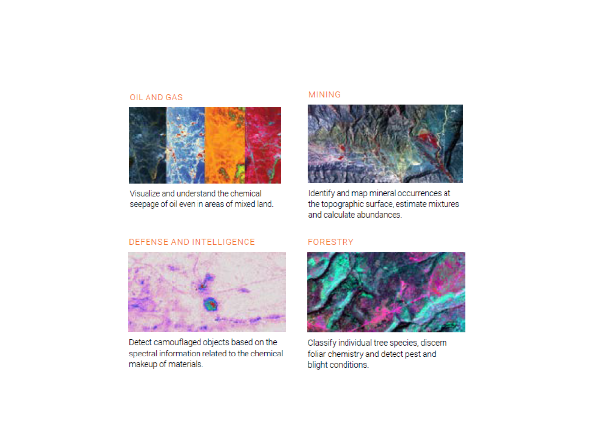
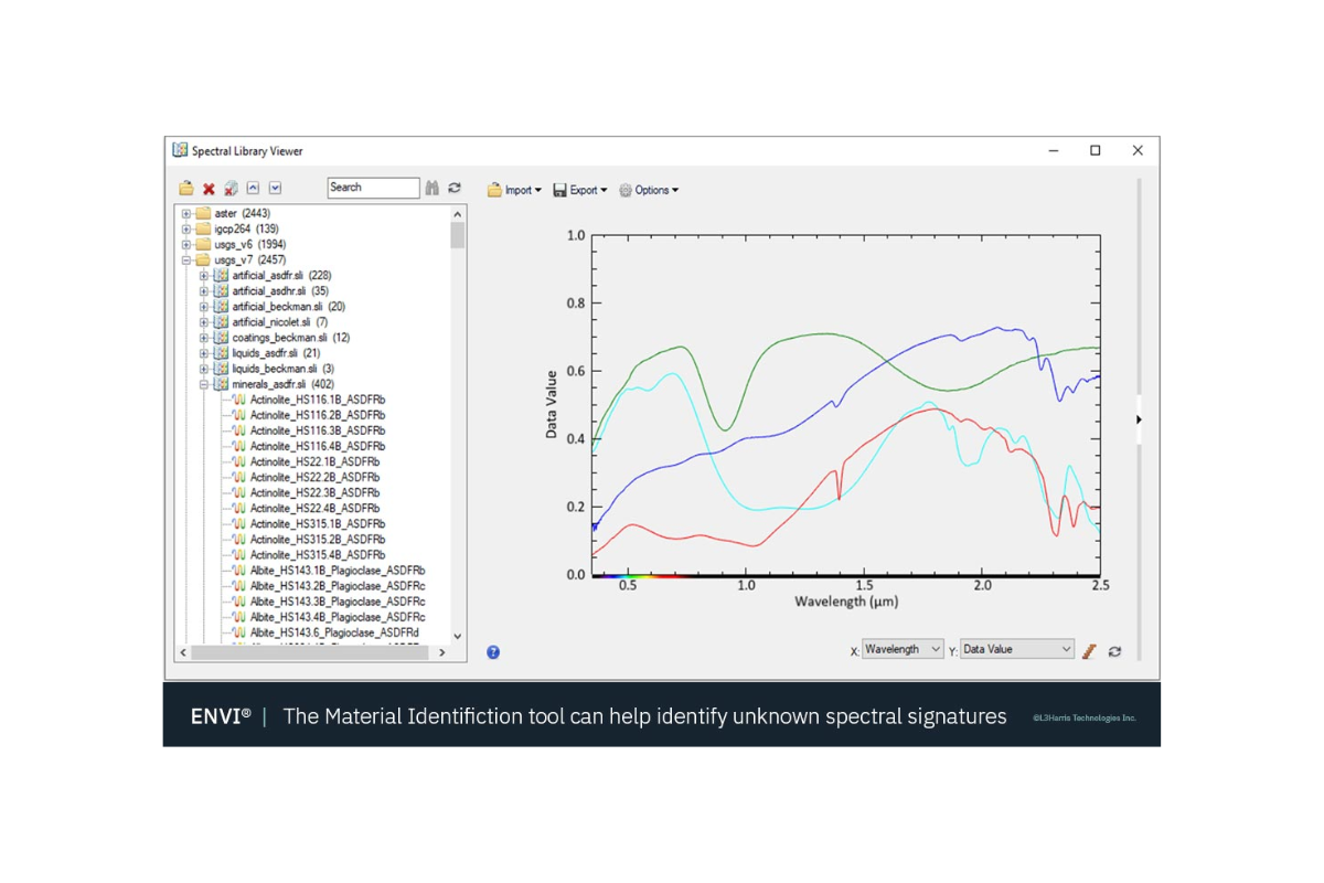
With ENVI, you can easily import, calibrate, and explore spectral data from a wide range of sensors, including Specim cameras, and perform detailed analyses such as spectral classification, material identification, target detection, and anomaly detection. Its comprehensive library of spectral tools and integration with IDL enable flexible customization and automation for demanding research and production environments.